Over the course of seven days in October 2022, I walked solo from the city of Toulouse, France to the Mediterranean Sea. By car, the distance is about a hundred miles. By foot, across open country, I did it in one-hundred-twenty-six. From Toulouse, I passed through the eastern section of the Haute-Garonne department by way of the old towns of Caraman and Revel. I then went over the western hump of the Montagne Noir and followed the Aude river valley to the city of Narbonne and the sea beyond.
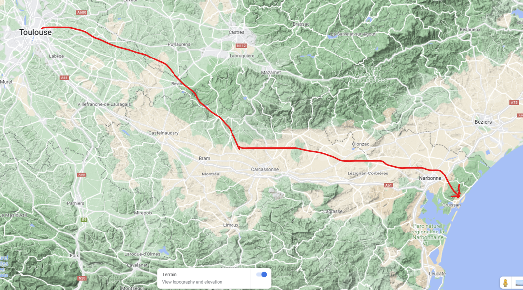
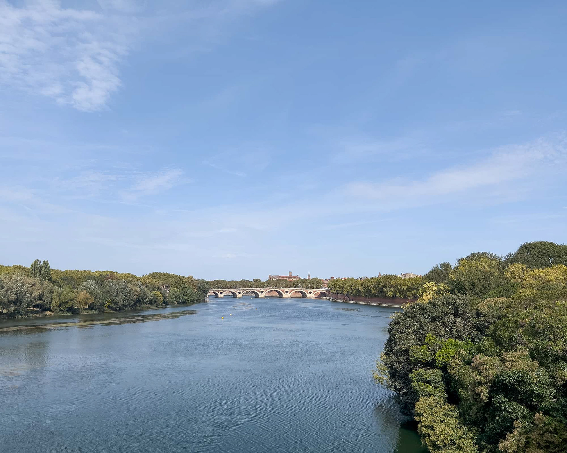
Some useless information: the Garonne is the sixth longest river in France and it passes through Toulouse, the fourth largest city.

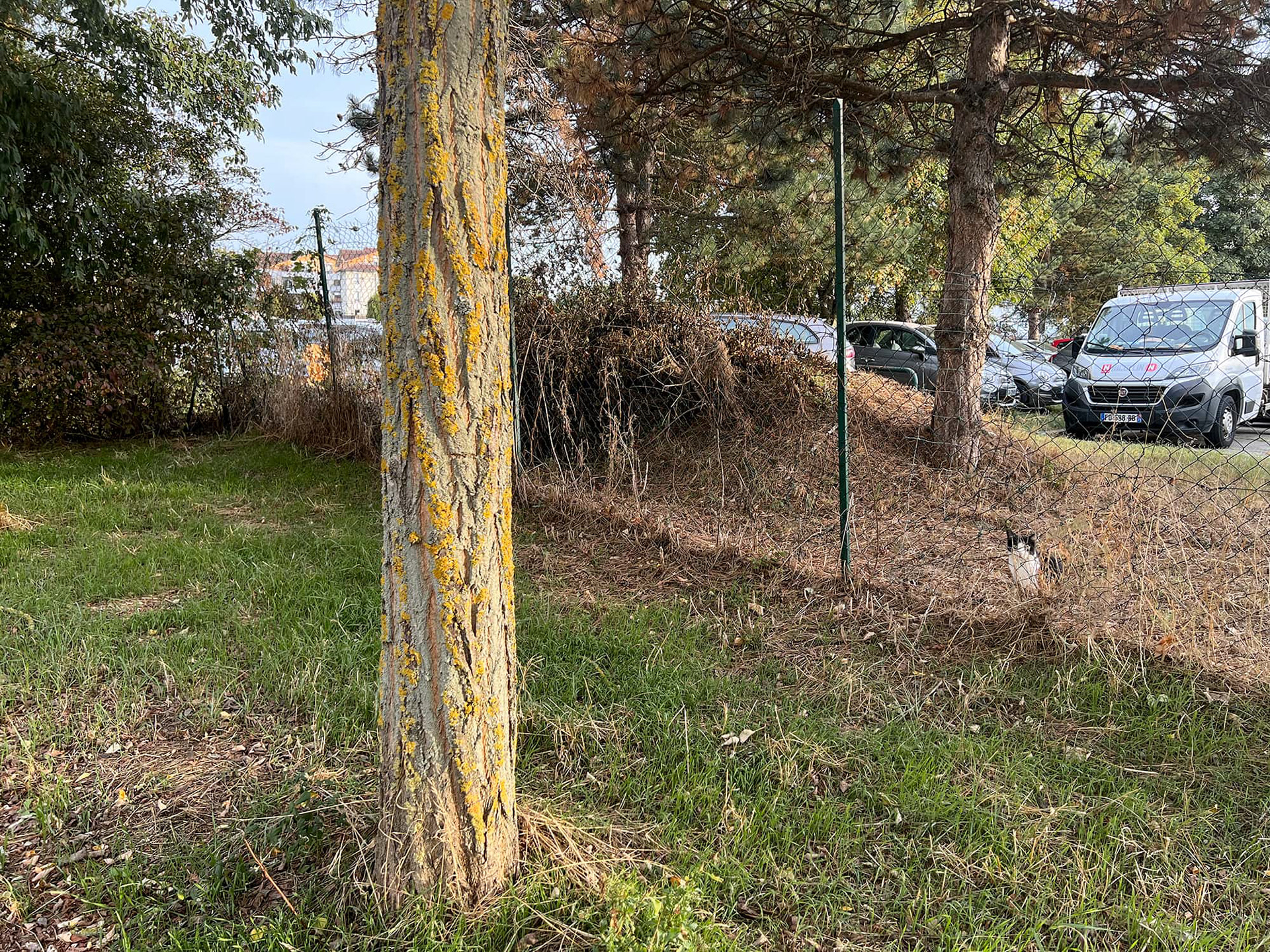
Cats are my friends on these journeys. The presence of a cat means the coast is clear. This black-and-white appeared suddenly and bade me farewell as I passed the last industrial park on the outskirts of Toulouse.
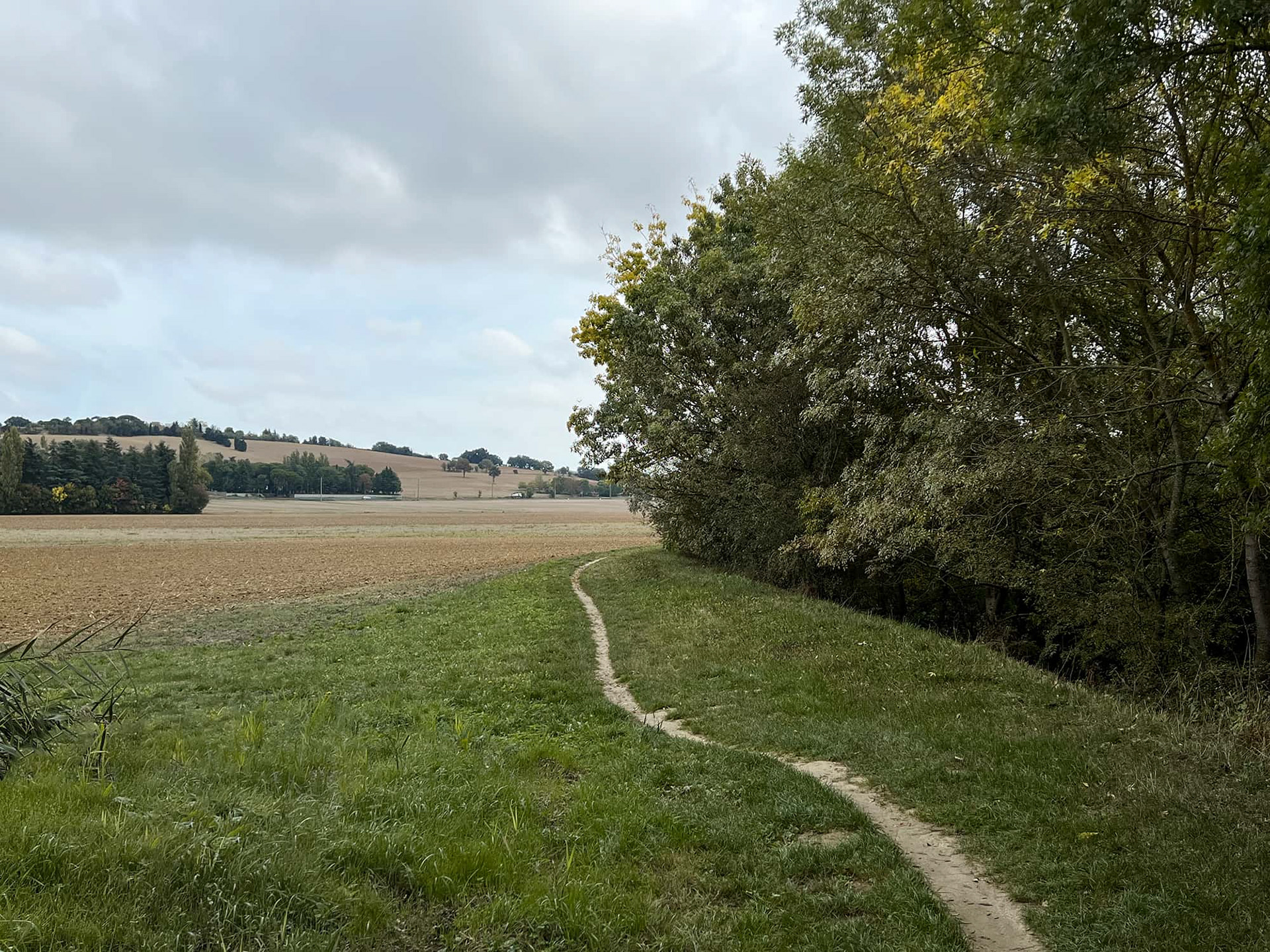
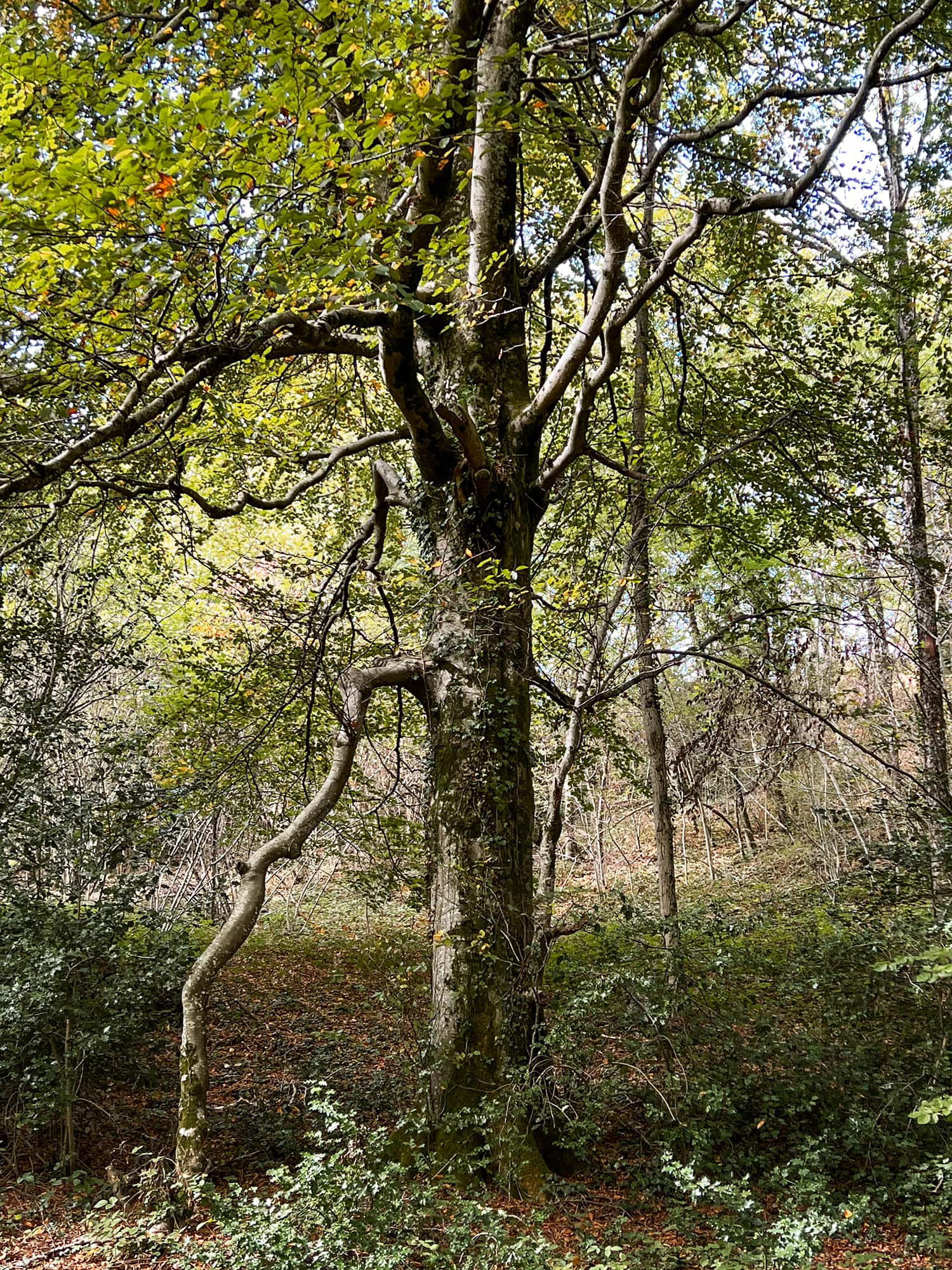
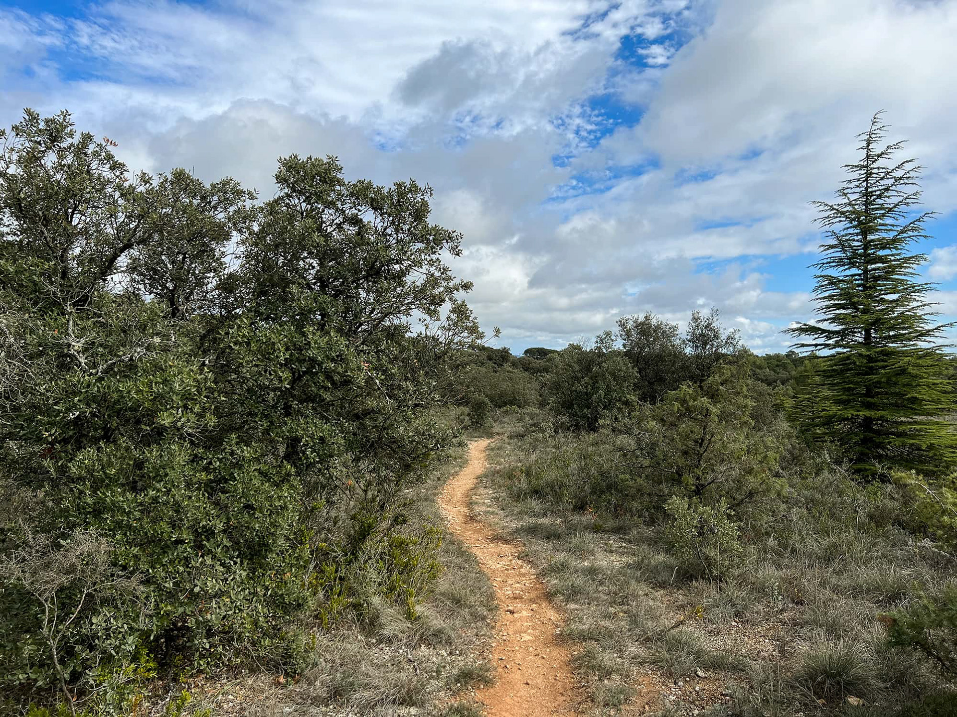
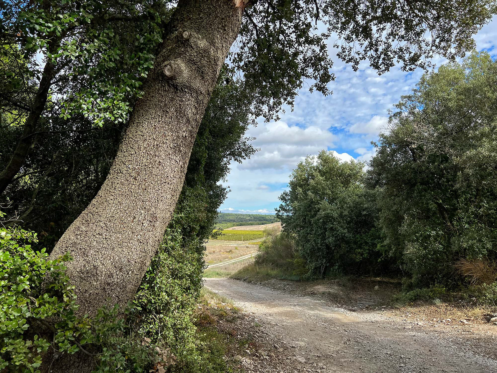
I picked up the communal track along the Ruisseau La Saune, a tiny creek that feeds a network of farms extending some twenty miles east of Toulouse. I followed it for twelve miles just to get warmed up. The track started out as a crushed-gravel route wide enough to drive a truck on but quickly devolved into a narrow path that was almost certainly several centuries old.
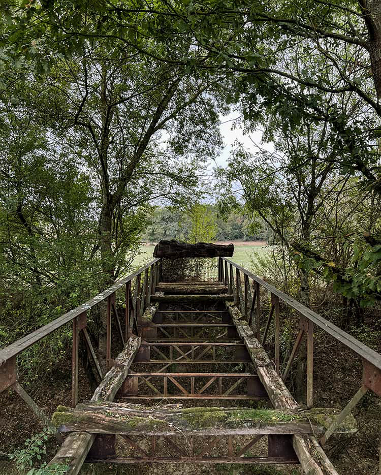
Many of the creeks I encountered, like the Saune, were small but set in deep trenches fifteen to twenty feet deep. I used old farmer's bridges to cross them. I got lucky here - this one had railings, many didn't.
One pair Salomons trail shoes; one pair Hoka Clinton running shoes; Compeed blister blockers; Mefix tape for feet pre-cut into small strips; one roll adhesive foot wrap; one pair of $2 foam cushions for the Salomons; six N95 masks; four covid tests; one film canister of sunscreen; one orange hunter's vest (light); one iPhone 13 Pro Max; one Huawei P30 Pro (backup phone); 65 pages of satellite view screenshots (about 1:20,000 scale); one REI compass; one dozen 800mg ibuprofen tablets (max of three a day before the liver goes, can be broken into half doses); band-aids of various sizes and colors; ankle and knee compression braces (if needed); REI hat; two REI smartwool t-shirts; two Eddie Bauer long-sleeve running shirts; two REI hiking pants; two pairs REI Exofficio underpants ($26 each, a bargain for what they do); one Zpacks Vertice rain jacket ($300, weighs seven ounces); two pairs smartwool socks; one pair dress socks for fancy restaurants; a Kindle (Richard Cohen: Making History; Joan Didion: Salvador; Colin Barrett: Young Skins); two pairs of sunglasses from Five Below; four Kind bars; photocopies of passport and other information; toothpaste; toothbrush; quarter roll of toilet paper; broomstick with rubber caps on both ends (obtained in Toulouse). About fifteen pounds total. Add to that food bought along the way plus two liters of water.
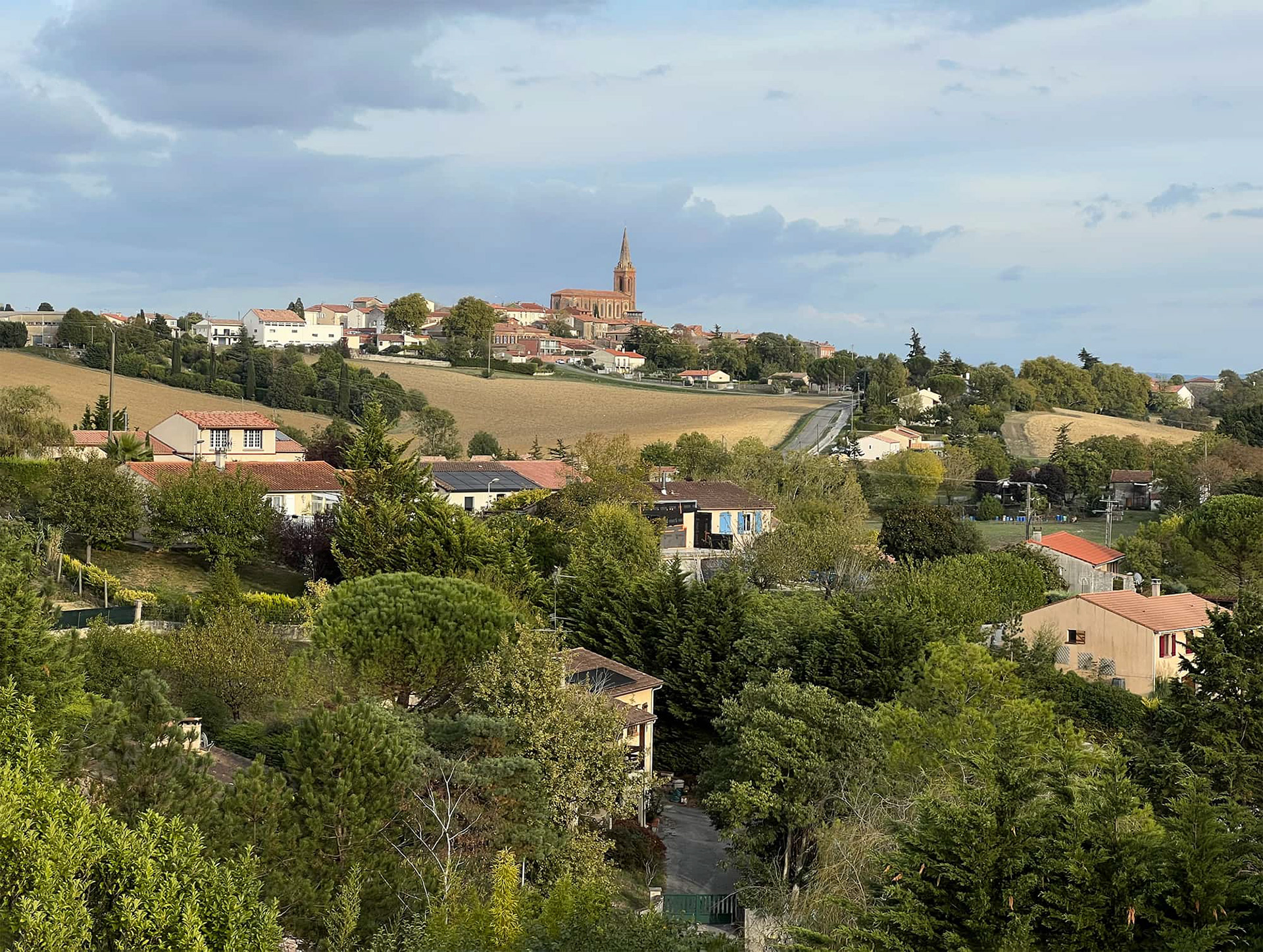
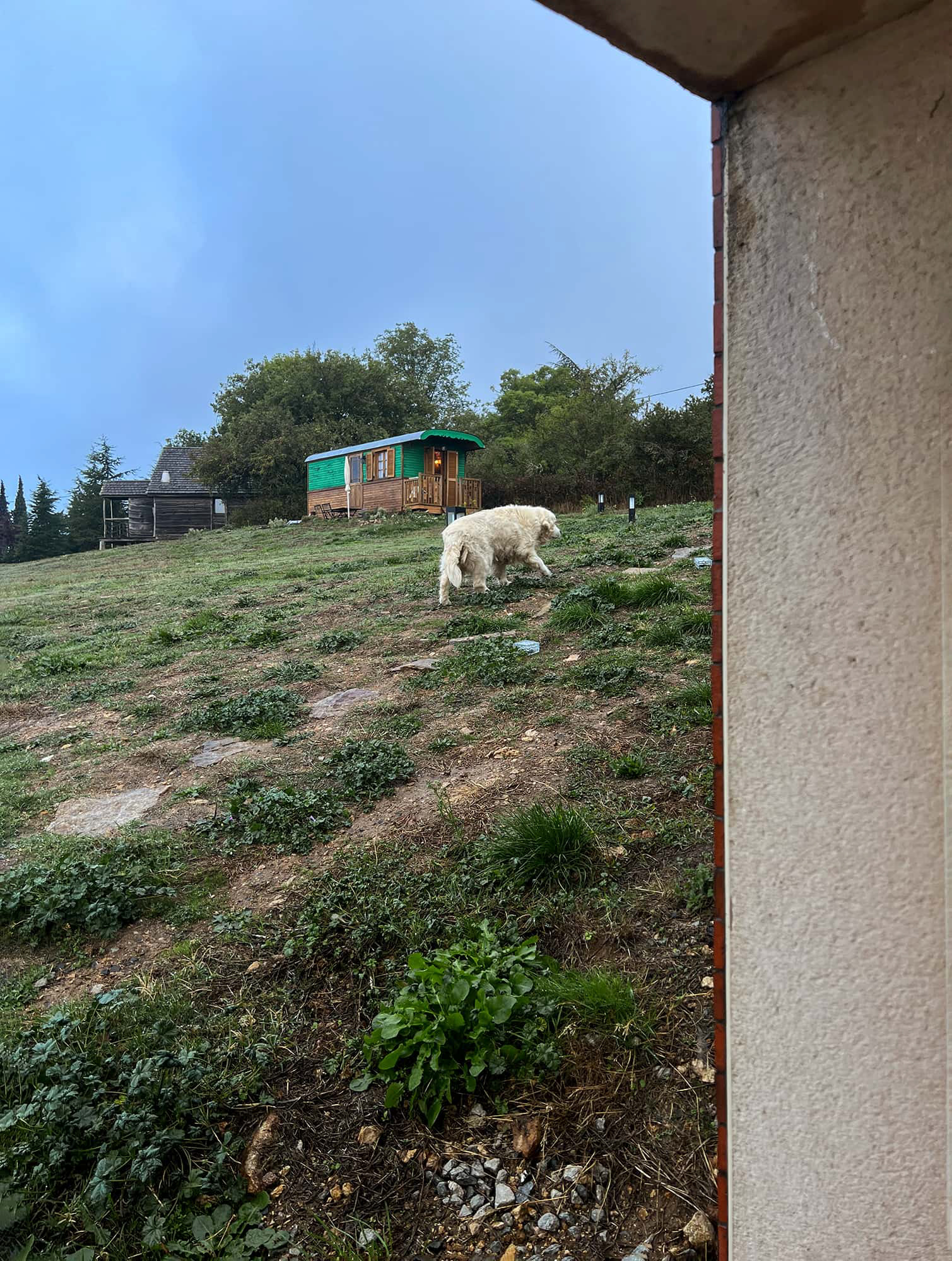
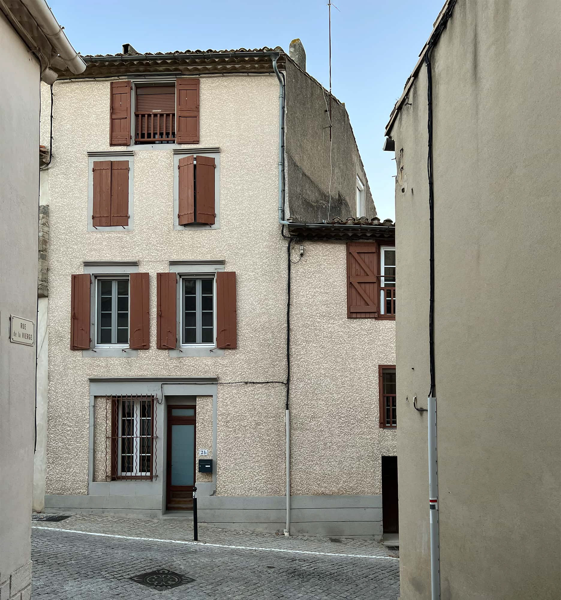
Along my route, I stayed in rented rooms plus a couple of small hotels. This allowed me to carry a lighter load and take on a more difficult hike. In the hilltop village of Caraman, the window of my first night's room faced the side of the massive Église Saint-Pierre, seen here from the outskirts.
Caraman, Haute-Garonne. 17.5 miles.
I can do it faster.
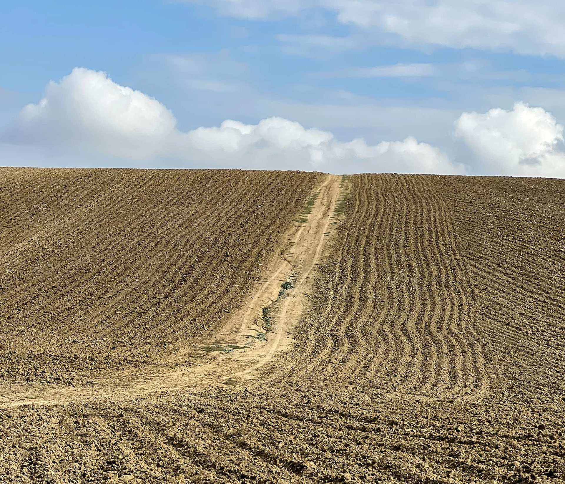
I ate my breakfast in the grass - leftover pizza from last night and a Kind bar. A baguette and a round of Brie were stuffed into my backpack; this would feed me for the rest of the day. It hadn't rained overnight so I set off straight over the dirt clods in the direction of Revel, twenty miles ahead.
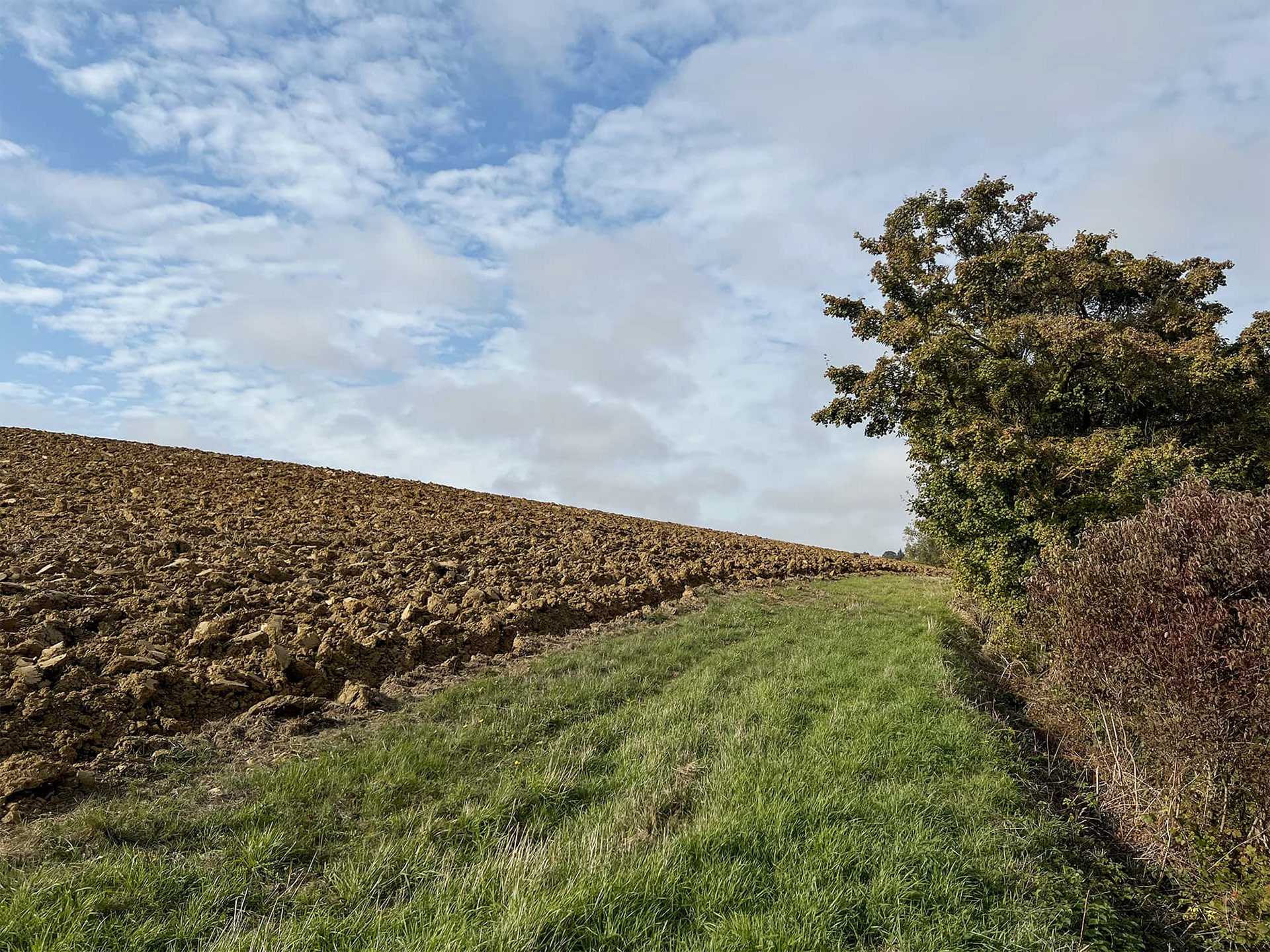
In Italy, the farmers use every available inch of the land to plant and I would have been walking on those clods all afternoon. God bless the French.
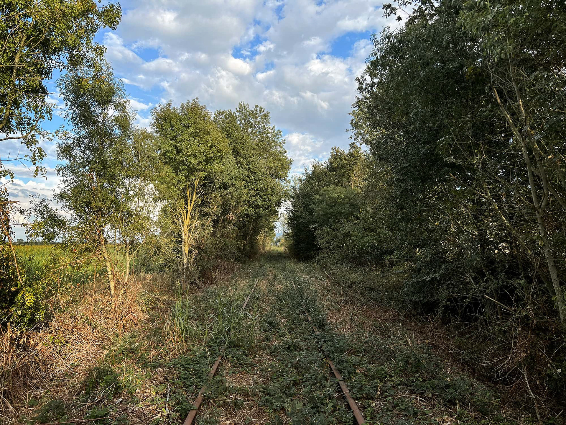
I don't like walking on railroad tracks but abandoned ones will work in a pinch. In this particular case, the last four miles into Revel would have been along paved roads which are off-limits to me.
Le Lac de Saint Ferréol - forty miles in. This reservoir feeds into the famous Canal du Midi about fifteen miles to the south of Revel. The flat canal walk was not in my plans but it was there in case I got into any trouble in the hill country.
The iPhone works wonders navigating open country like this. Its GPS system allows me to execute complicated routes and village approaches that I wouldn't be able to work out with only a paper map. A map will offer me a dependable ten-thousand foot macro view of the landscape. The phone allows me to zoom in and pick out a shed in a field that I can use for cover to get around a sheep pen that will almost certainly be guarded by dogs. Or I can detect a homemade bridge across a river that didn't exist ten years ago. Sometimes, especially in the mountains or during storms, I will lose the GPS signal and that is why I still carry the maps, which are way more fun to use anyway.
A shortcut that I discovered.
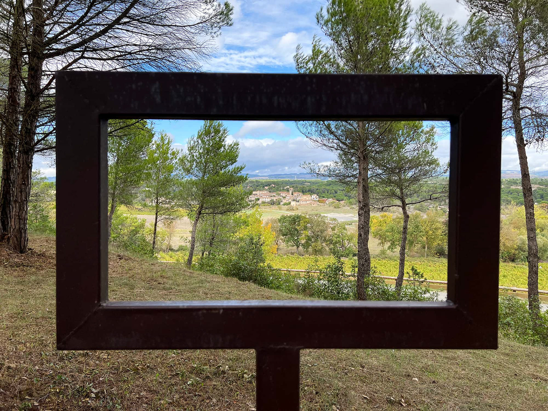
The person who invented this should get some kind of Nobel. Village of Aragon, Aude Valley.
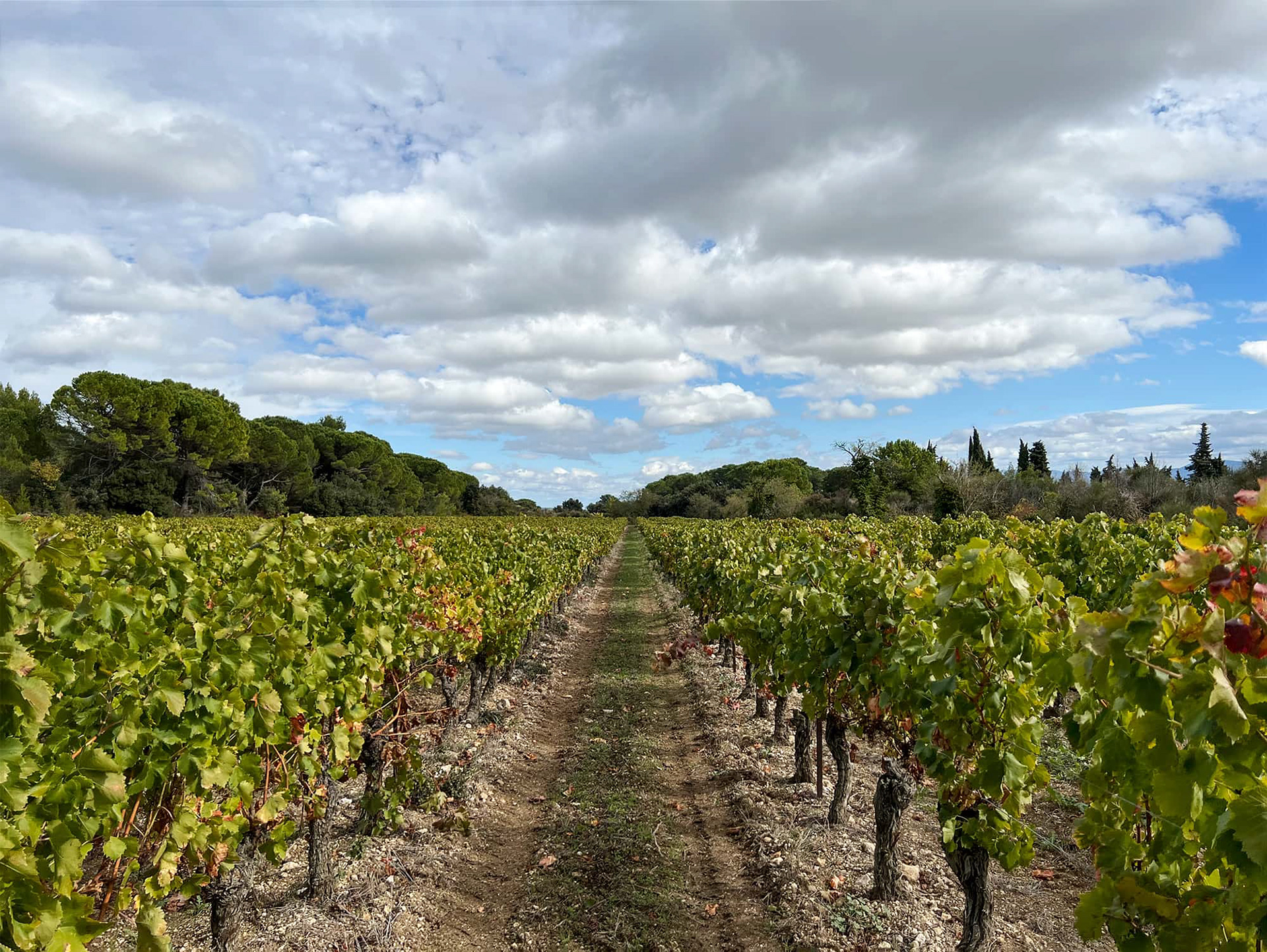
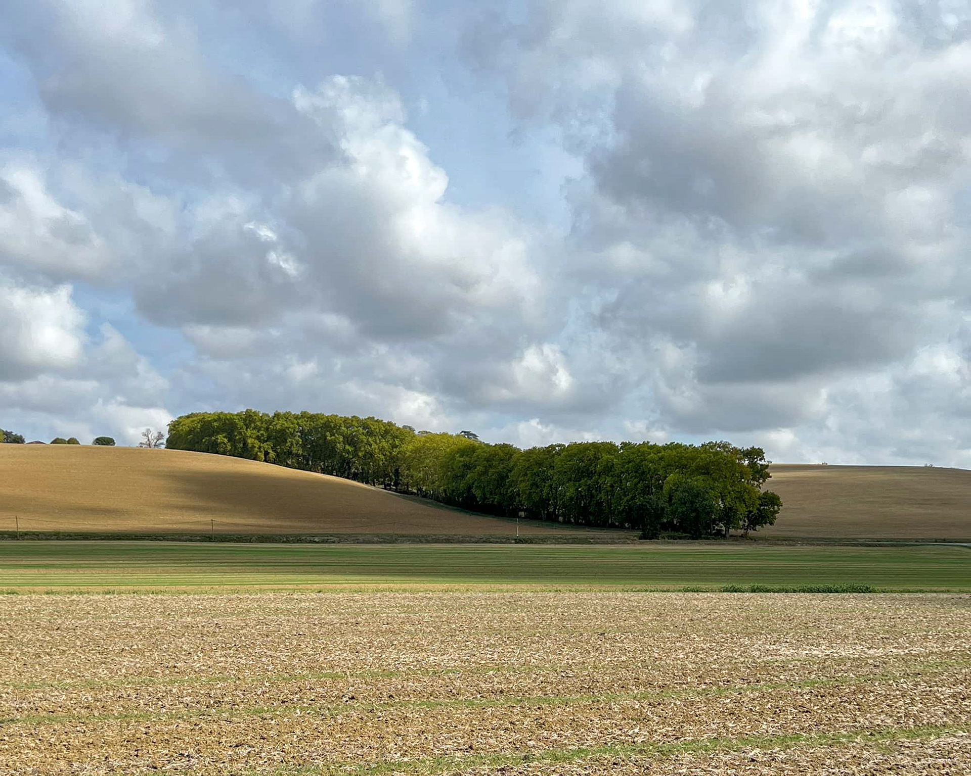
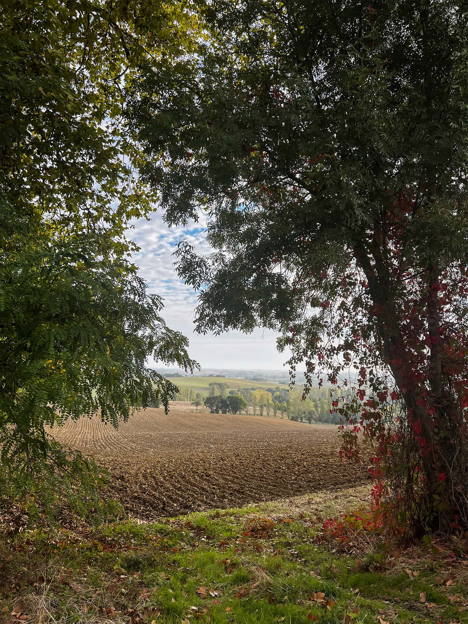
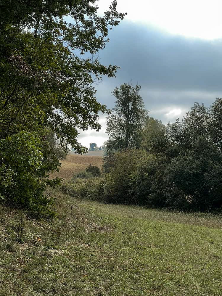
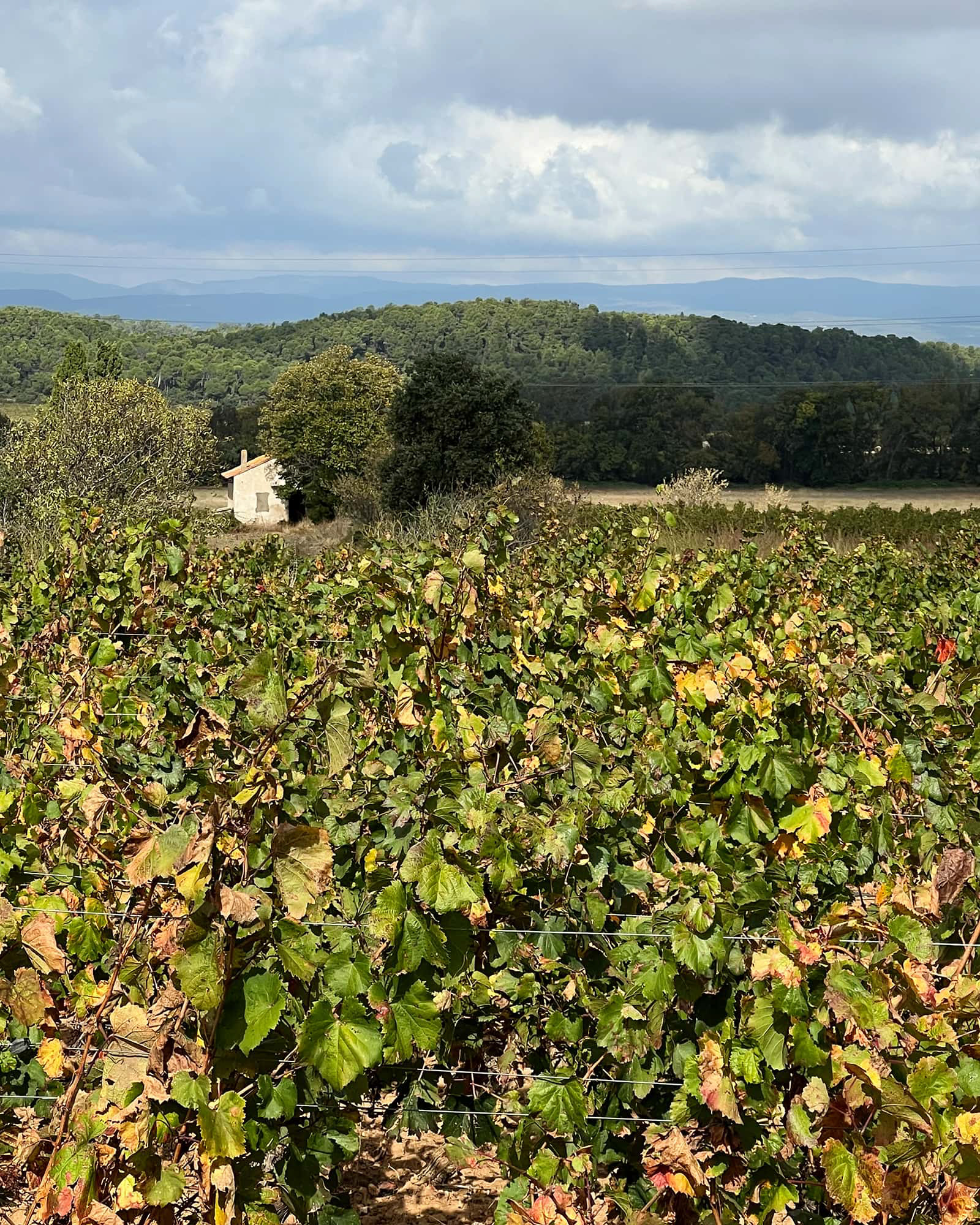
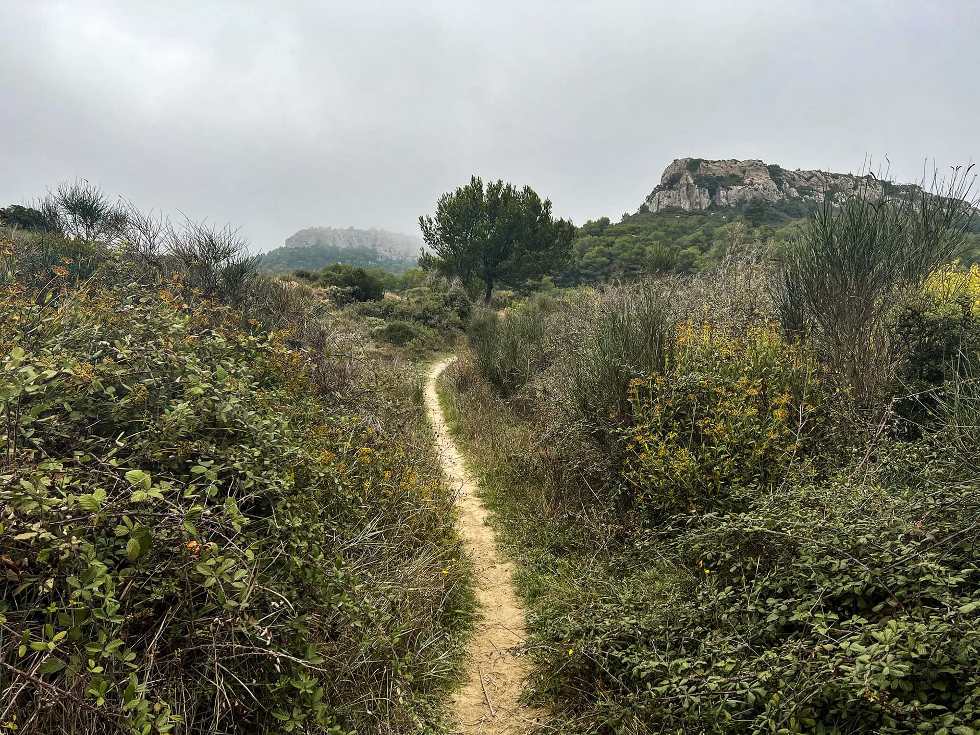
Seventy miles. I had entered the western reaches of the Aude River valley and would be encountering vineyards like this for the rest of my journey. I had planned on using the woods and other available detours surrounding these plots because I wasn't sure how territorial the locals would be. It turns out that nobody wasted their time with me so I just walked straight on through.
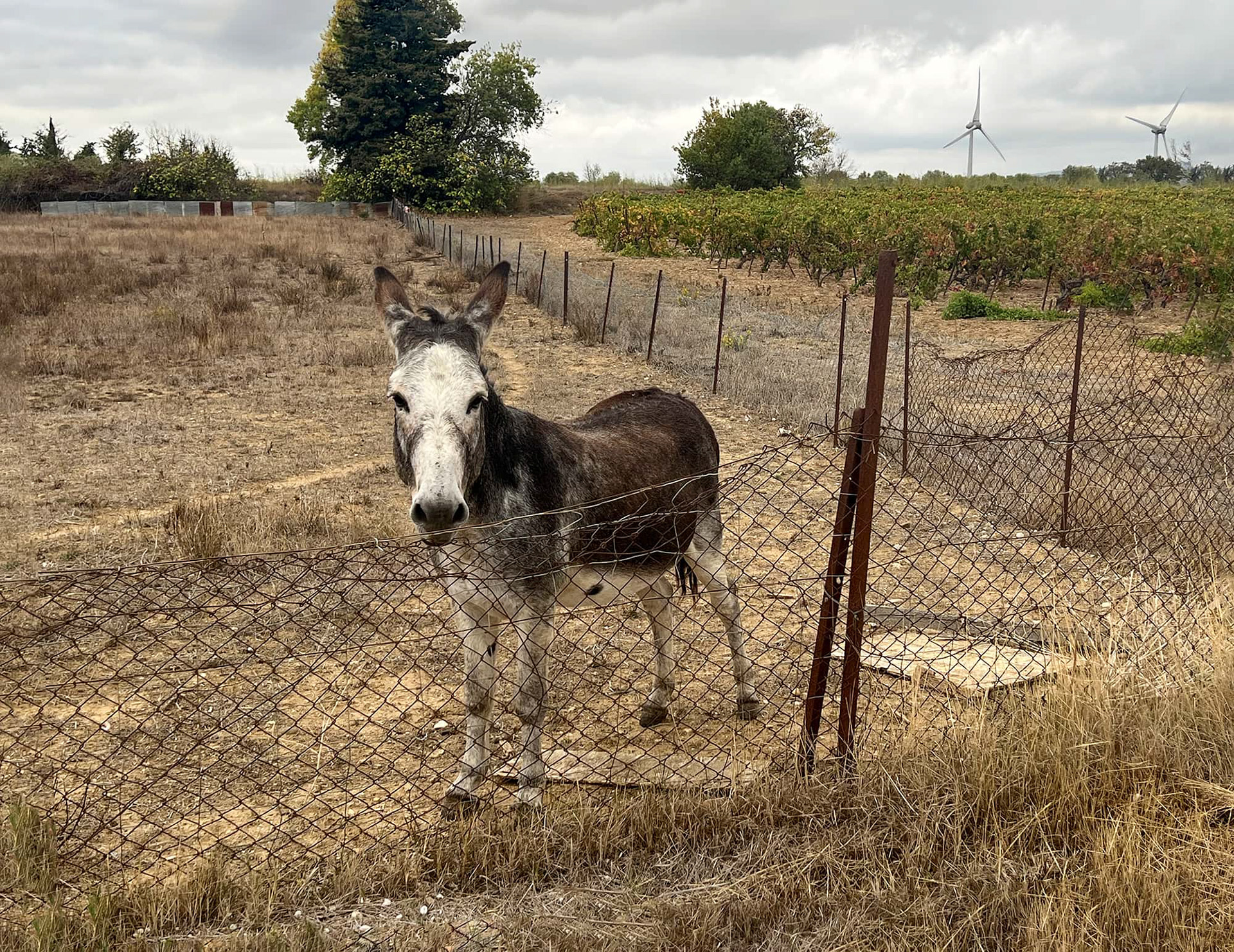
There are very few fences in this part of southern France; I essentially had the run of the place. It was almost like walking across a golf course without all those little white projectiles flying about. When I encountered a fence it was because there were animals on the other side of it. On two occasions, I observed professionally dressed hunters (camo, whistles, suitcases) firing away with shotguns inside fenced-in areas. Since I didn't have any pressing business with the animals, I didn't climb any fences on this hike.
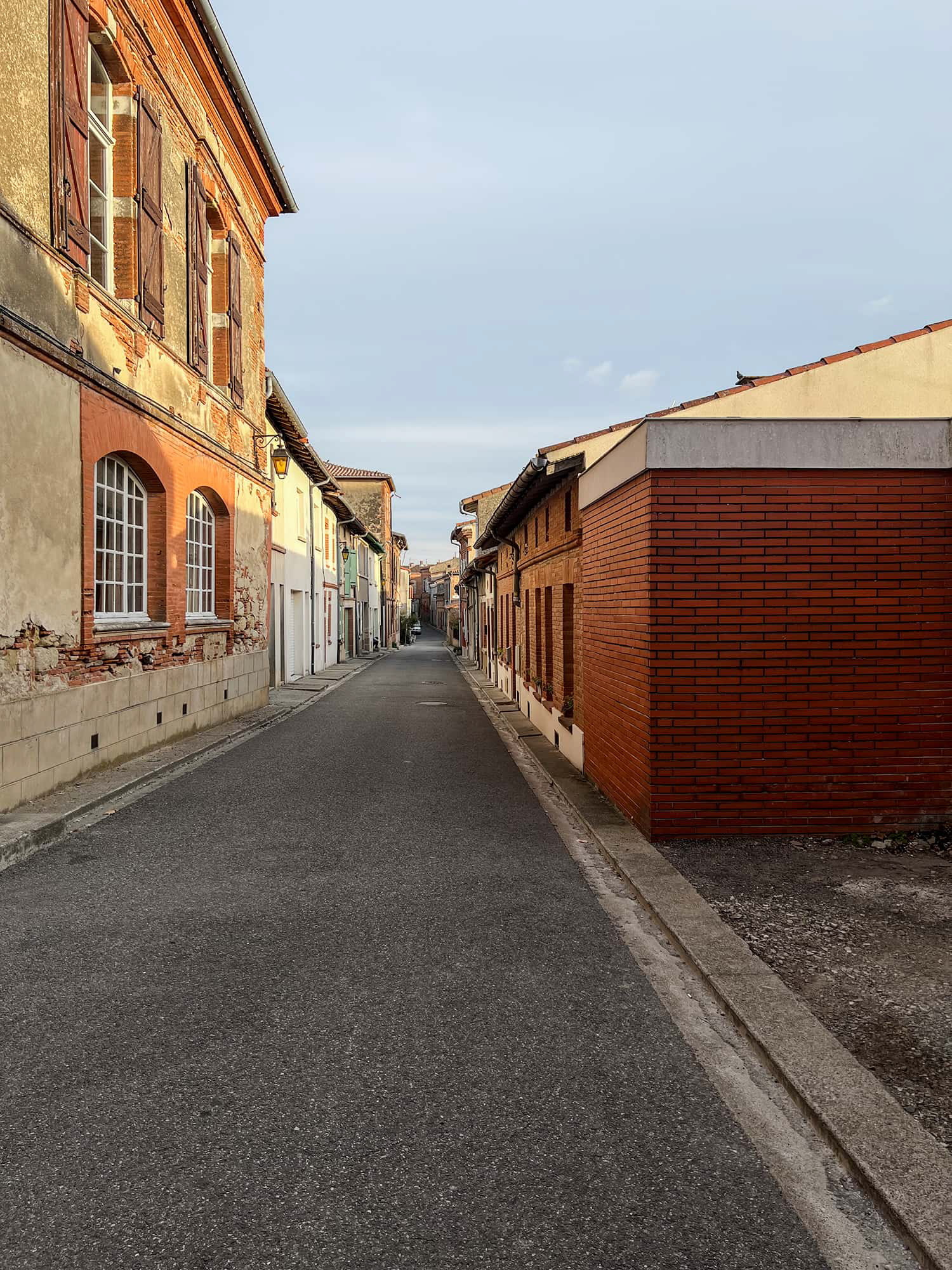
Conques-sur-Orbiel, Aude River valley.
Long distance hiking can be seen as a battle of attrition. The only way to train for twenty mile hikes across multiple days is to hike twenty miles for multiple days. By the end of the second day my right shoulder was wrecked to the point that I had to place my backup socks underneath the strap. Different parts of my feet were complaining loudly at various times of the day. Nothing will end a long-distance hike quicker than a blister or a shin splint. Whenever I stopped to eat or drink the shoes and socks came off. I don't wear hiking boots for this type of hike. They will protect my feet in the rain and snow but will produce blisters and are as heavy as cinderblocks once they get soaked through. Having said all of that, the human body is a marvelous thing even at almost sixty-four years. By day five, which is how far along I was in this picture, the aches and pains had disappeared, the weight of the pack was zero and I was experiencing the hike of a lifetime.
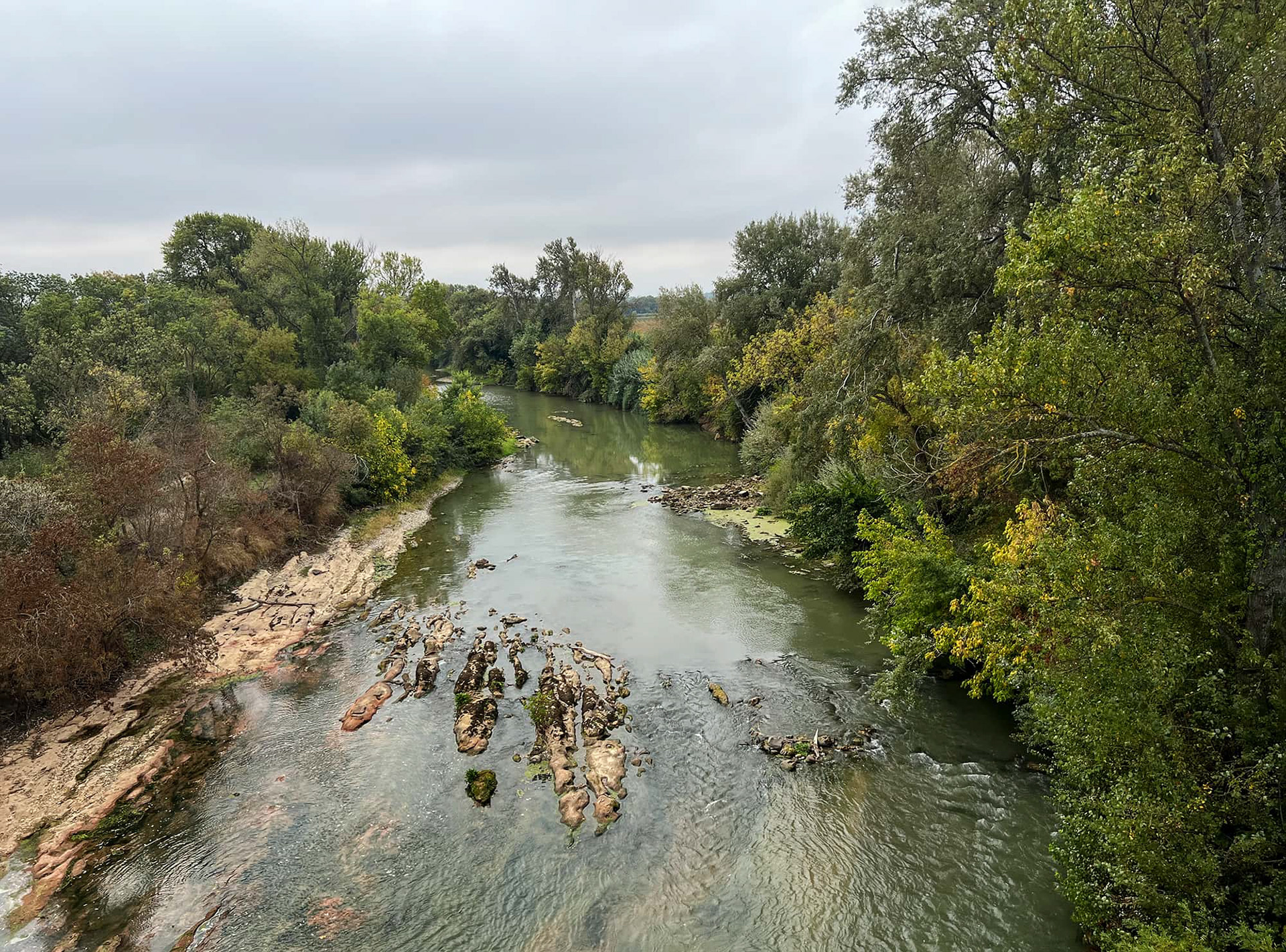
The River Aude, just southeast of La Redorte. This was the only time I saw the river which was largely responsible for the landscape I'd been walking through for the past ninety-three miles.
At the MVA earlier this year to get my driver's license renewed, the lady at the counter had me read each row top to bottom. When I got to the bottom line, she said I was wrong. I told her I was right and read them to her again. A second time she said I was wrong. I pointed to the chart I was reading from, it was in the next lady's cubicle.
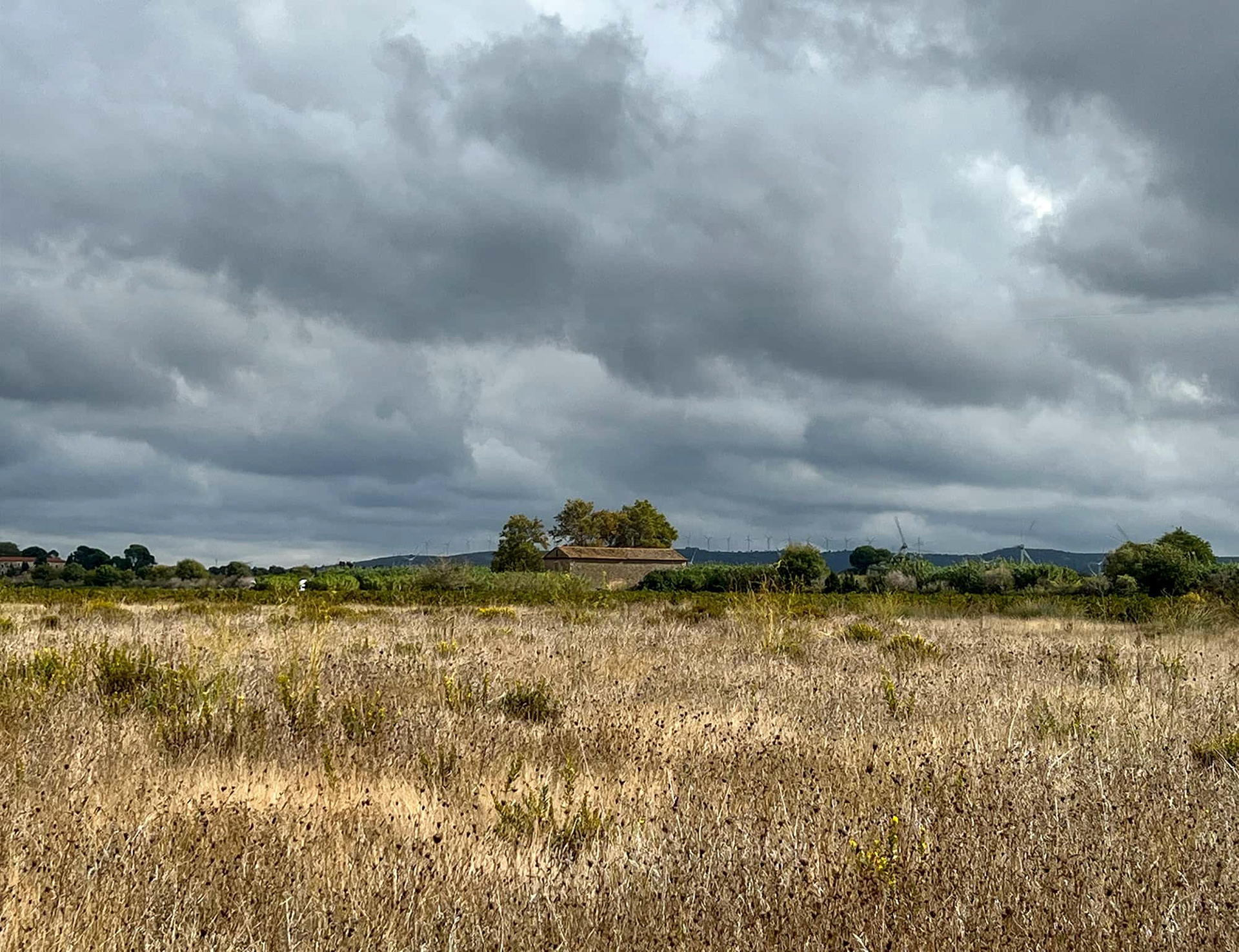
My target on day six was Marcorignan, a village which lay just beyond that line of wind turbines up on the ridge. Marcorignan had only one pizzeria but one that also happened to have a small refrigerator containing a single bottle of chilled rosé made in a neighboring village. I was renting a room in the basement of a house a mile away and I carried my pizza and wine there. It was late and I ate unnoticed in the dark underneath a short, squat tree in the backyard. I used my iPhone's flashlight to see. The pizza was as cold as the wine and it was one of the best dinners I’ve ever had. 109 miles.
Why do I hike? I want to know what's on the other side. I want to go to that place beyond the horizon line. Some days there might be five or six horizon lines, other days only one. I want to see the mountain far ahead of me in the morning and then far behind me at the end of the day. When I see a castle or a thousand year old church on a hilltop six hours away, I go for it. Mostly, I thrive in the sheer act of getting there - figuring out the different approaches, dealing with the dogs, wild boars, property owners in loud ATVs, dumb cows stampeding after me, asking questions of people with whom I don't share a spoken language, going straight up instead of around, bushwacking, wading through water with the pack over my head.. Roads are boring and hard on the feet. They are also dangerous. Just about any house on a road has a dog waiting patiently for me in the driveway. Shoulders don't exist, trucks and buses zip by a foot from my own shoulder. It is slower in the field but I can be discreet and the scenery is incredible.
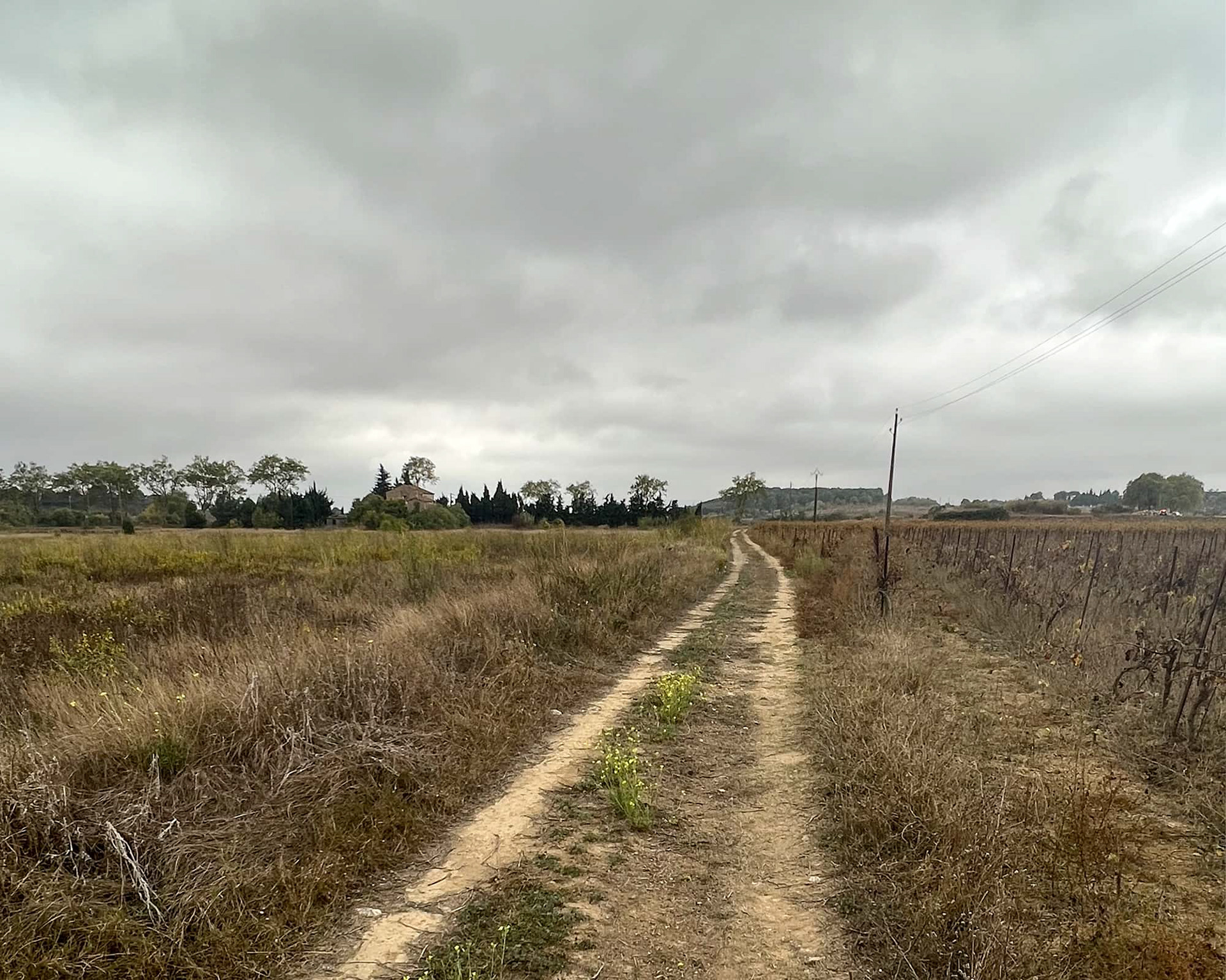
The storm had dumped its load during the night but by mid-morning things were dry again and I was moving. The city of Narbonne was about six miles ahead of me and the Mediterranean ten miles beyond that with a line of mountains separating the two. The chance of rain was about eighty percent on this last day and I actually wondered whether I had exact change for the beach bus.
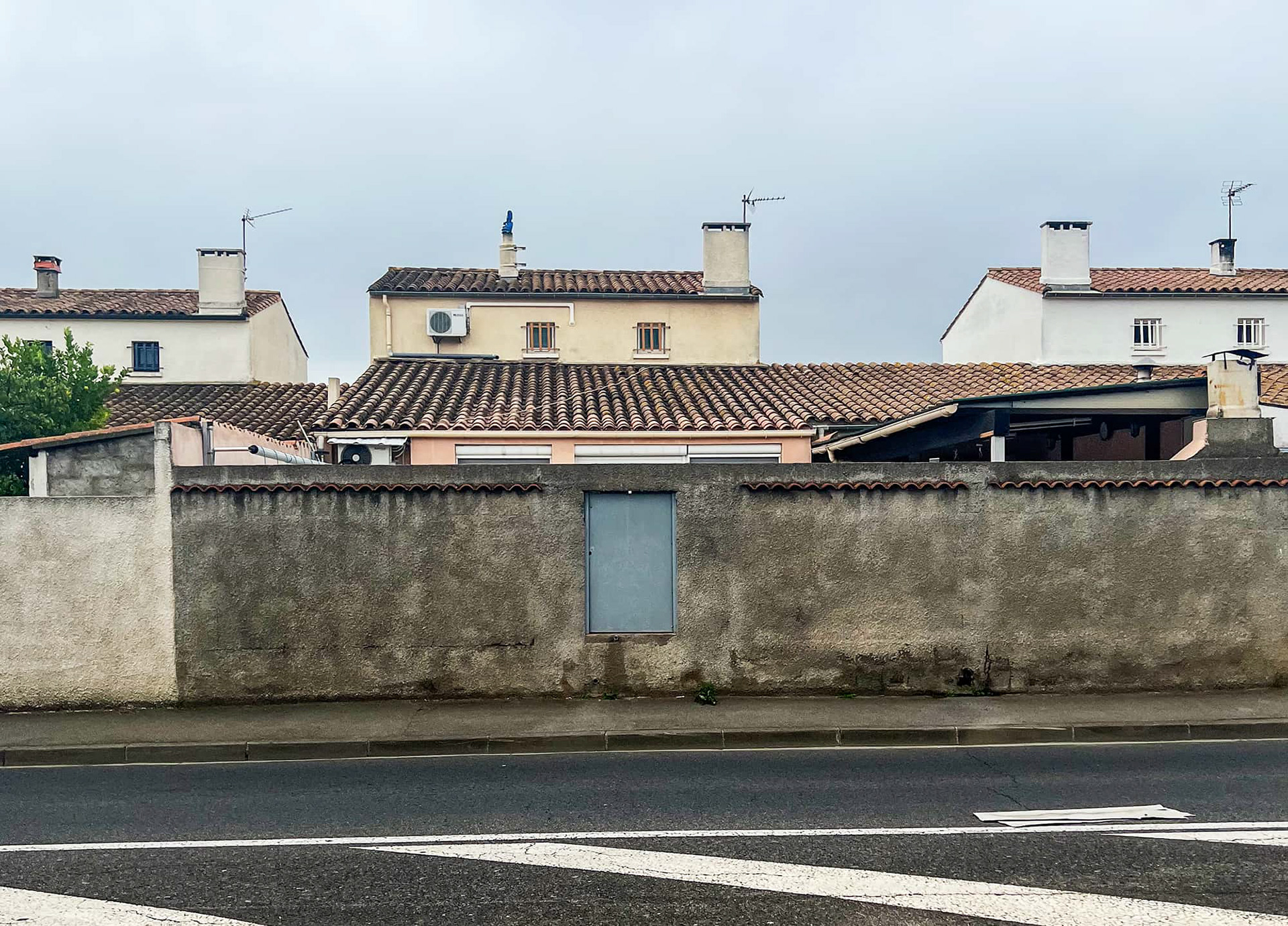
Entering the outskirts of Narbonne.
The rain that had threatened all day hadn't arrived yet so I made the executive decision to continue right through Narbonne and go over the mountains to the sea. Like the horse in the field all day who catches sight of the open barn door, I did this final ten-mile stretch in only four hours.
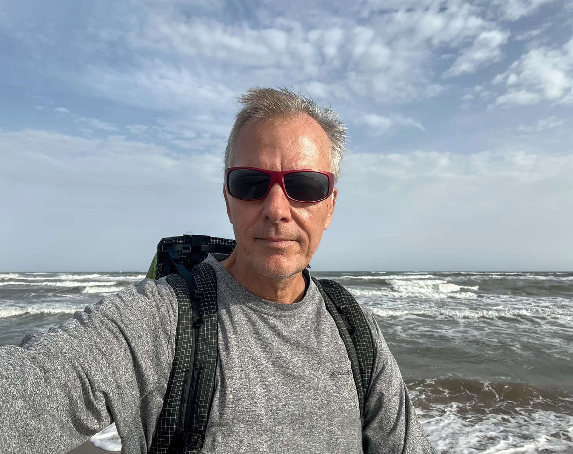
The sea reminded me of the one at Galveston, TX - angry and gray with multiple rollers going back eight or nine deep. I didn't jump in. It took me seven days to arrive here but I spent only ten minutes celebrating because the last bus of the day was heading back to Narbonne. 126 miles.